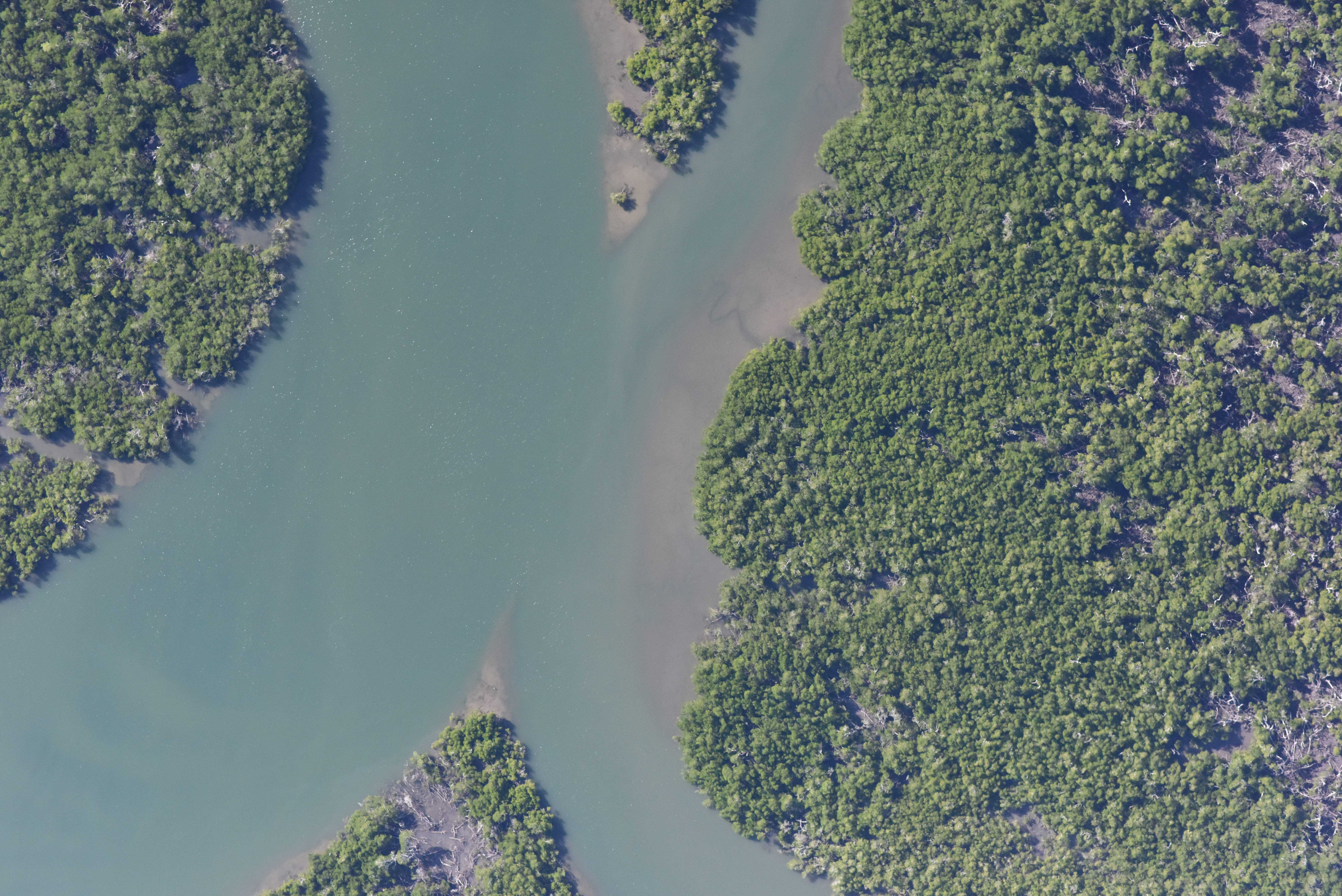
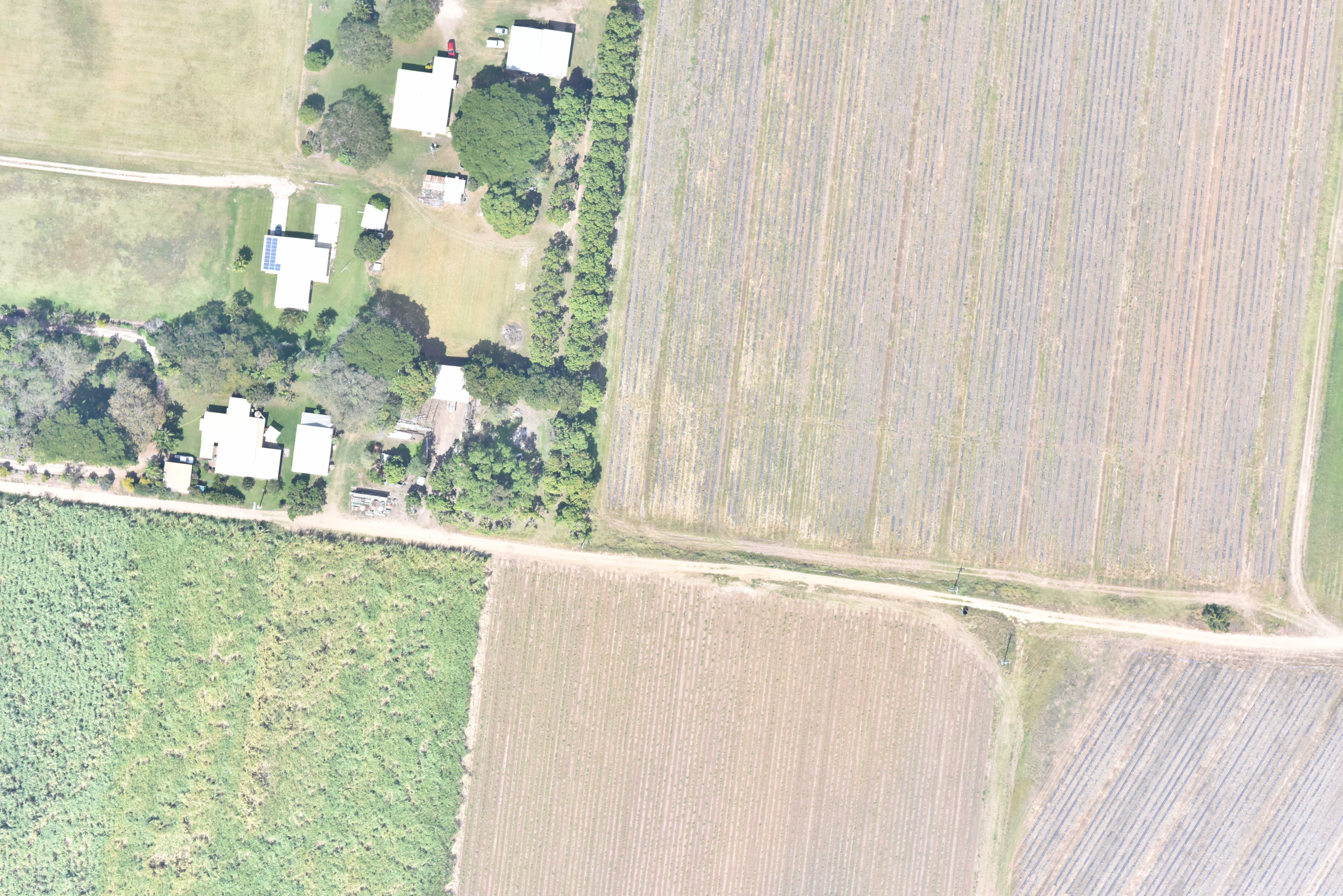
Aerial Imagery
High resolution digital imagery is available in infra red, colour and thermal imagery. EMA provides cost effective deployment in comparison to larger systems, with a quick turn around*. We travel to capture imagery anywhere in Australia. Imagery can be provided digitally or as hardcopy prints. (*depending on flying conditions)
Ortho-rectification & Mosaicing
Ortho rectification of your aerial images using a digital elevation model enables your images to be seamlessly mosaiced. Mosaic can be supplied in a format suitable for GIS, or as a hardcopy, high quality photographic print. Visually display your information as a series of overlays on a aerial photo mosaic to support reports or management plans.
Image Samples